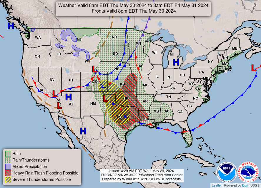
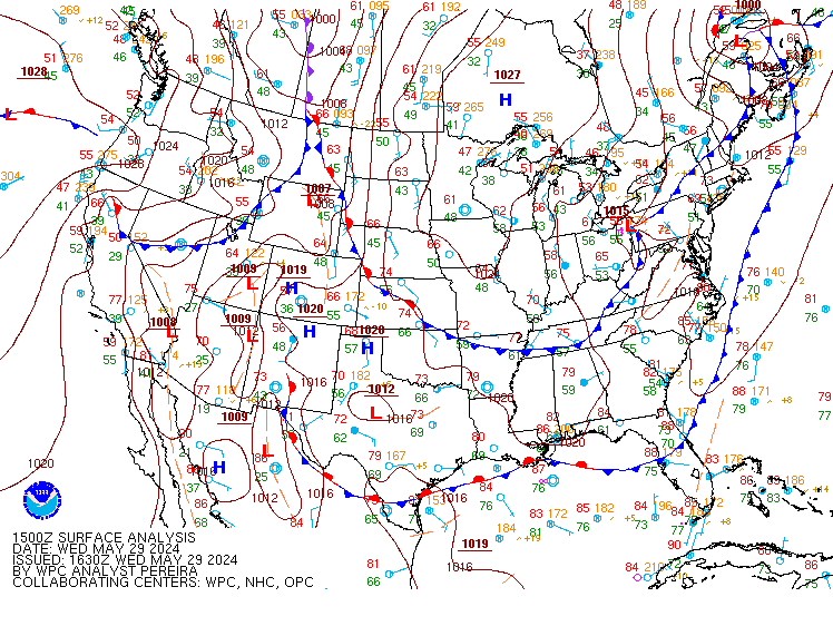
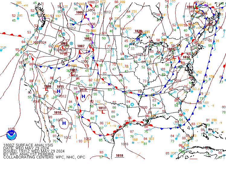
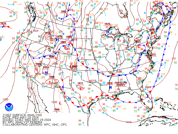
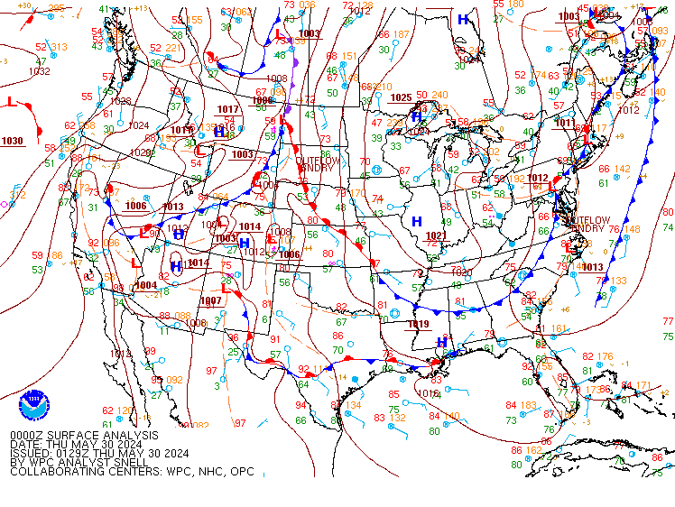
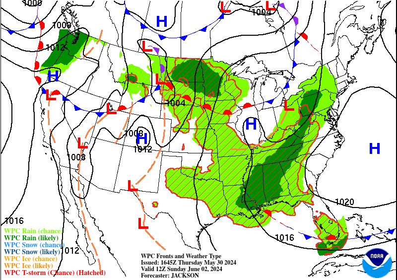
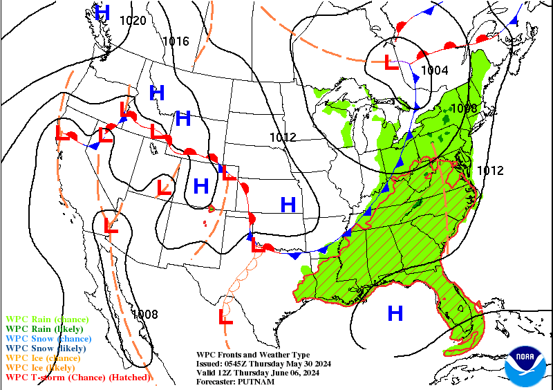
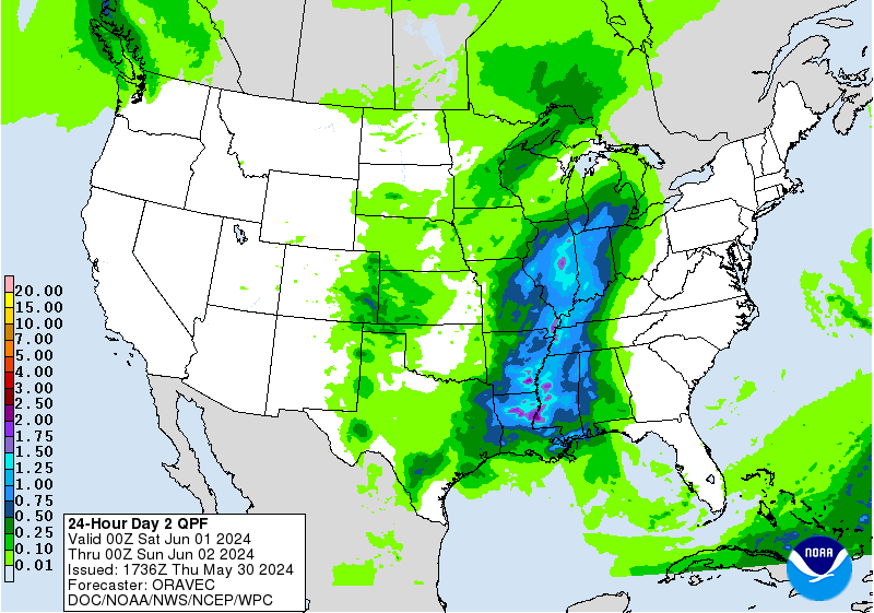
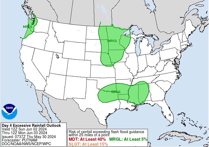
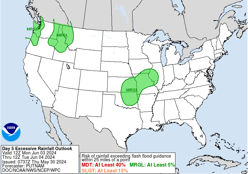
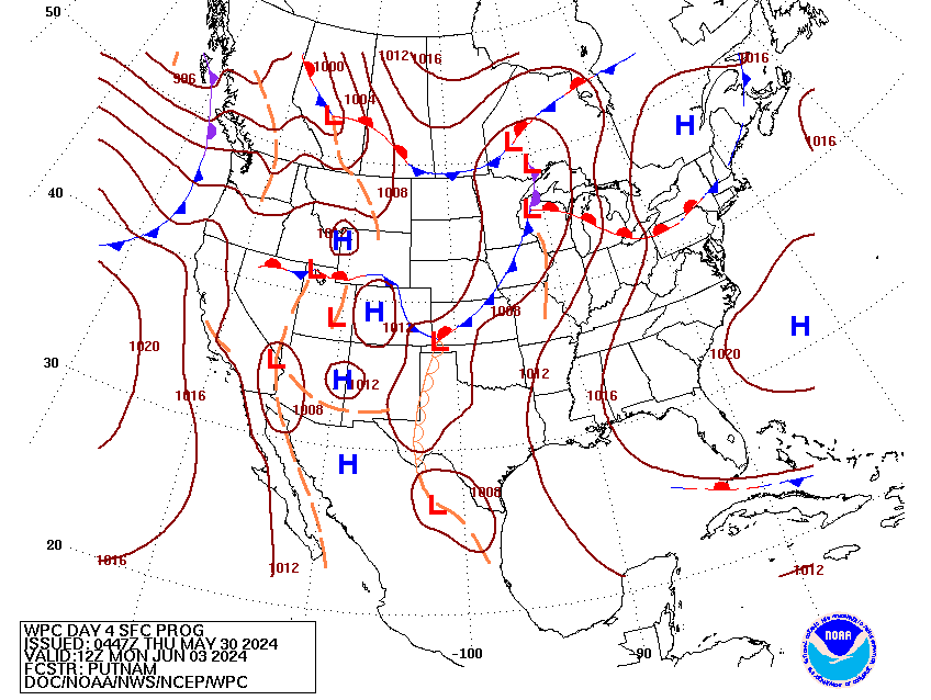
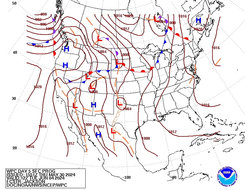
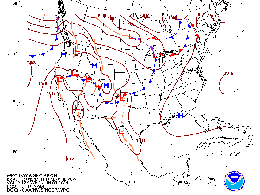
Valid Wed Apr 2, 2025
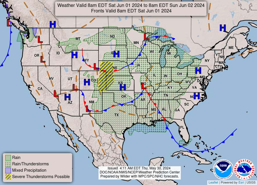
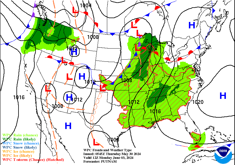
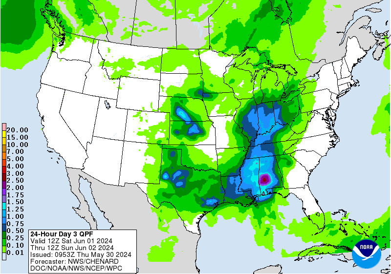
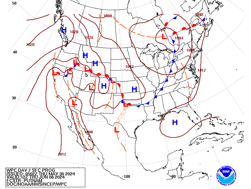
Valid Thu Apr 3, 2025
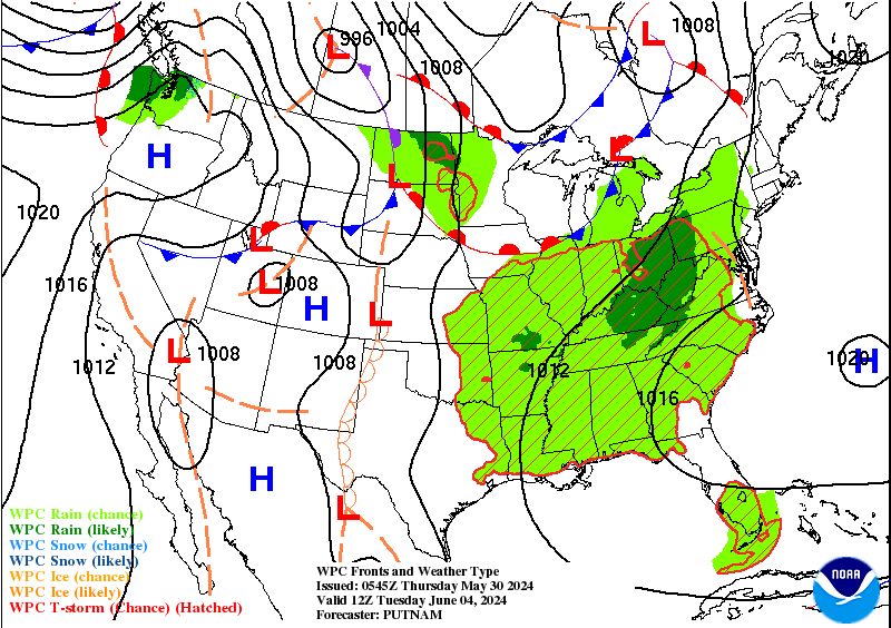
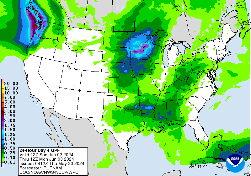
Valid Fri Apr 4, 2025
+ Additional Links
- » Description of the National Forecast Chart
- » Product Archives
- » Download hazards in KML or shapefile format or GeoJSON format


NWS Weather Prediction Center College Park MD
400 PM EDT Wed Apr 02 2025
Valid 00Z Thu Apr 03 2025 - 00Z Sat Apr 05 2025
...Life-threatening, catastrophic, and potentially historic flash flood
event begins for the Lower Ohio Valley and Mid-South...
...Major severe weather outbreak expected for the Mid-South through
tonight with multiple intense tornadoes possible...
...Late season winter storm continues through tonight for portions of the
Northern Plains/Upper Midwest with heavy snowfall expected...
...Unsettled weather persists over the West as an upper-level trough
passes over the region...
...Critical fire weather conditions continue for portions of the southern
High Plains through this evening...
A powerful Spring storm system will bring a barrage of life-threatening
weather hazards including flash flooding and strong tornadoes to portions
of the Lower Ohio Valley and Mid-South through the evening and into the
overnight hours. The flash flood threat, which is just now beginning to
materialize, is only the beginning of a multi-day catastrophic and
potentially historic heavy rainfall event. A deepening upper-level trough
and accompanying strong low pressure/frontal system will continue its
eastward push through the Midwest, Mississippi Valley, and southern
Plains. Extremely impressive dynamics given very strong upper-level and
lower-level wind fields, as well as a deep influx of boundary layer
moisture flowing northward from the Gulf, will help support a broad warm
sector featuring widespread, intense thunderstorms stretching from the
Great Lakes southwest through the Middle Mississippi/Lower Ohio Valleys,
Mid-South, ArkLaTex, and Southern Plains. The Storm Prediction Center
(SPC) maintains a High Risk (level 5/5) of severe weather across portions
of the Mid-South and Lower Ohio Valley where the most favorable overlap of
strong upper- and lower-level shear and instability will likely lead to an
outbreak of tornadoes, including multiple intense tornadoes, as well as
very large hail and significant damaging winds. A broader Enhanced Risk
(level 3/5) covers the rest of the region where a more scattered but still
significant threat of tornadoes, large hail, and damaging winds exists.
Unfortunately, this severe threat will be compounded by the beginning of a
life-threatening flash flood event. Strengthening upper-level ridging to
the east will help to slow the progression of the eastward moving cold
front, increasing the chance of repeated rounds of storms as they begin to
move more parallel to the stalling boundary. The blocked flow will also
help to maintain a supply of plentiful Gulf moisture helping to foster
very-efficient, intense downpour producing storms. A Moderate Risk of
Excessive Rainfall (level 3/4) remains in place this afternoon,
overlapping much of the SPC High Risk from the Lower Ohio Valley
southwestward into the Mid-South where the greatest potential exists for
several inches of rainfall and scattered to numerous instances of flash
flooding through the evening and overnight hours. The front will become
nearly stationary across the region Thursday leading to an even greater
risk of significant heavy rainfall totals. The repeated rounds of rainfall
will lead to increasingly saturated soils, and could bring additional
rainfall over areas already experiencing flooding. For these reasons,
another Moderate Risk is in place Thursday for the Lower Ohio Valley/Mid
South to the ArkLaTex with an embedded High Risk (level 4/4) from western
Kentucky to northeastern Arkansas where widespread, life-threatening flash
flooding is expected. The front will remain stalled into the weekend with
Moderate Risks already in place for Friday and Saturday. This event will
bring potentially historic amounts of rainfall, with some locations
possibly seeing as much as 10-15"+ of rain through the weekend.
Communities throughout the area should prepare now for the possibility of
long duration and severe disruptions to daily life given the expected
extreme rainfall and flood risk. Additional severe thunderstorms are also
expected on Thursday and Friday. On Thursday, The SPC maintains a broad
Slight Risk (level 2/5) from the Mid-Atlantic southwest into the Southern
Plains, and introduced an Enhanced Risk (level 3/5) from the ArkLaTex to
Western Tennessee for the threat of damaging winds, large hail, and a few
tornadoes. On Friday, a Slight Risk of severe weather is highlighted from
portions of the Ohio Valley southwest to central Texas, with an Enhanced
Risk from portions of southern Missouri to far northeast Texas. Similarly
to Thursday, all severe hazards are possible, including a few tornadoes
and very large hail.
Meanwhile, a winter storm continues through tonight in the colder airmass
north of the system, with a band of heavy snow forecast along and to the
north of the surface low track from the eastern Dakotas into northern
Minnesota. Several more inches of snow are expected before the storm wraps
up by Thursday morning, with the heaviest totals most likely along the
northern shore of Lake Superior. Gusty winds may lead to areas of blowing
snow and very difficult travel conditions. The warm front associated with
the same system responsible for the snow across the Northern Plains and
Upper Midwest will also bring wintry precipitation to areas of the
interior Northeast/New England tonight into Thursday. Some light to
moderate snow and ice accumulations are possible (especially for the
higher mountain elevations and portions of northern Maine) before warmer
air moves in and changes most precipitation over to plain rain.
Like a broken record, wintry weather continues for another couple of days
across much of the Interior West as embedded perturbations round the broad
upper-level trough over the region. Some moderate snow totals will be
possible for higher elevations of the mountain ranges across the Pacific
Northwest, Great Basin, northern/central Rockies, and Four Corners through
tonight. Western areas will see the snow taper off by early Thursday while
the focus shifts to the northern/central Rockies and Four Corners region.
A frontal passage across the northern Rockies and an area of low pressure
east of the central Rockies will help to enhance upslope flow and bring
some heavier snow totals to the mountains, with some snow also expected
for adjacent portions of the northern/central High Plains.
In the wake of a dry cold front, strong, gusty winds, low humidity, and
dry fuels are resulting in critical fire weather conditions across
portions of the southern High Plains this afternoon and evening. Red Flag
Warnings remain in effect for parts of southern New Mexico and western
Texas. The threat of fire weather remains elevated on Thursday, but won't
be as high as today.
An amplifying pattern with mean ridging building over the eastern U.S. and
the noted troughing over the central/western U.S. will favor warmer, much
above average temperatures to the east and cooler, much below average
temperatures to the west through late week. Some of the greatest anomalies
will be from the Southern Plains eastward through the Southeast, where
highs into the 80s and low 90s may reach daily record-tying/breaking
levels. Well above average highs into the 70s to low 80s for the Midwest
this afternoon will fall into the 50s and 60s Thursday following a cold
front passage. Highs in the 50s and 60s for the Mid-Atlantic/Northeast
will warm into the mid-60s to low 80s on Thursday as the ridge builds
northward. Areas of the Central/Northern Plains will remain cooler behind
the cold front with highs ranging from the mid-30s to the mid-50s. In the
West, forecast highs generally range from the 40s in the Interior West,
the 50s in the Pacific Northwest, the 50s and 60s in California, and the
60s to low 70s in the Desert Southwest.
Miller/Putnam
Graphics available at
https://www.wpc.ncep.noaa.gov/basicwx/basicwx_ndfd.php
NWS Weather Prediction Center College Park MD
259 PM EDT Wed Apr 2 2025
Valid 12Z Sat Apr 05 2025 - 12Z Wed Apr 09 2025
...Multi-day and potentially catastrophic heavy rain/flooding and
severe threat likely for Lower/Middle Mississippi, Tennessee, and
Ohio Valleys into Saturday...
...Overview...
A significant and potentially historic flooding and flash flooding
event will be ongoing as the period begins on Saturday along a
wavy frontal boundary from the Lower Mississippi Valley to the Ohio
Valley. This front is sandwiched between a strong Atlantic to Gulf
upper ridge and an amplified western U.S. trough. A gradually
amplifying Canada into northern U.S. upper trough nearing the East
into Monday and eventual southern stream energy ejection and
phasing will finally help to push the frontal boundary and rainfall
east with some heavy rainfall potential along the central Gulf
Coast and parts of the Southeast. A shortwave reaching the West on
Sunday-Monday could bring mostly light precipitation to parts of
the Northwest. After Monday, the medium range period should trend
much drier across the country as the overall pattern briefly
becomes flatter and more progressive on the way toward a western
ridge/eastern trough configuration.
...Guidance/Predictability Assessment...
Within the agreeable large scale pattern, primary differences of
note involve the timing of energy ejecting from the
Southwest/southern Plains/northern Mexico late weekend onward,
specifics of upper trough energy digging into the Great Lakes early
next week (with significant influence on surface evolution and
precipitation), and low-predictability specifics of shortwave
energy progressing from the West Coast into central U.S. Monday-
Wednesday. Dynamical and machine learning (ML) guidance comparisons
led to starting the updated forecast with 40 per 00Z ECMWF and an
even remaining split of the 06Z GFS/00Z UKMET/00Z CMC early-mid
period, followed by a rapid increase of 06Z GEFS/00Z ECens input
that reaches 60 percent total by next Wednesday. The forecast
phased out the GFS after Monday and maintained more ECMWF versus
CMC through the end of the period.
The first guidance difference that arises is with the energy
ejecting from the southern part of the large scale trough from late
weekend into early next week, with the GFS/GEFS leaning a bit
faster than most other solutions. 00Z/06Z ML models show some
variance as well and on average are not quite as slow as the ECMWF
cluster. At the surface, ML models show a decent signal for a
Tennessee (Sunday) through Mid-Atlantic (Monday) wave with other
guidance showing some trends in that direction.
Latest GFS runs have been most aggressive with the degree to which
digging Great Lakes trough energy closes off an upper low by
Tuesday, leading to a much stronger/wrapped up surface system along
with more significant snowfall over parts of the Northeast. Recent
ML models generally favor keeping the trough more open, though
with the potential for a neutral to negative tilt for a time. Some
ICON runs and the 12Z CMC develop a closed low somewhat east of the
GFS, so the ultimate evolution over the Northeast remains
uncertain.
Low predictability favors a conservative approach for Monday West
Coast energy that may reach the Plains by midweek. The strong side
of the envelope (such as in some GFS runs) would produce meaningful
precipitation over the central U.S. but consensus recommends
weaker energy and a much drier pattern.
...Weather/Hazards Highlights...
A persistent wavy frontal boundary will continue to focus moist
and unstable inflow leading to widespread flash flooding concerns
which should begin during the short range period and continue
through about Saturday. For several days now, models have been
indicating significant multi-day rainfall totals, especially across
Arkansas into western Kentucky where 24-hour totals on Saturday
alone in excess of 4-5 inches could be realized in some spots (and
this is on top of potentially 5-10 inches of rainfall in the short
range as well). A catastrophic and life-threatening flash flood
event is likely and the Day 4/Saturday ERO continues to show a
large moderate risk from northeast Arkansas into western
Kentucky/southern Indiana, with a likely high risk upgrade needed
once this moves into the short range period. Latest guidance
recommends maintaining continuity for the Day 4 ERO. By Sunday, the
heavy rain threat should finally begin to shift eastward with
moderate to heavy rains possible across the Gulf Coast states into
the Tennessee Valley/Southeast, and rainfall farther north into the
Mid-Atlantic and Northeast near the front. The Sunday ERO shows a
Marginal Risk for this region with an embedded Slight Risk farther
south across parts of southern Alabama and Mississippi where recent
heavy rainfall has primed soils and the greatest instability
should be located. Guidance shows potential for a band of somewhat
heavy QPF to extend farther northeast across northern Georgia into
or near the far southern Appalachians, but latest first-guess
fields plus neutral ground moisture (and likely drier by then given
no rain forecast in the shorter term) favor keeping this region in
Marginal Risk for the time being.
Farther west, an upper low that digs into the Southwest by
Saturday should produce enhanced precipitation totals across the
southern and central Rockies and Plains. Snow is likely in higher
elevations of the Rockies in Colorado and northern New Mexico, and
some snow may spill into lower elevations of the High Plains within
cooled post-frontal upslope flow. Elsewhere by Monday, a cold
upper trough reaching the Great Lakes should lead to unsettled
weather over the region with rain or snow. This precipitation
should extend into the Northeast as well. Latest guidance shows
significant differences for surface/upper evolution over the
Northeast early- mid week, with the more extreme side of the spread
producing some significant snowfall over parts of New England in
contrast to much lighter and scattered snow in the greater
proportion of solutions. Probabilities of 0.25 inch liquid in the
form of snow reach no higher than 10-15 percent or so during the
Tuesday-Tuesday night period, reflecting the guidance majority.
Meanwhile upstream, the upper shortwave/front expected to reach
the West Coast into early next week will be accompanied by a brief
increase of moisture anomalies but the system will be fairly
progressive. Thus expect mostly light precipitation but with some
terrain-enhanced moderate activity over western Washington/Oregon
and northwestern California, with decreasing amounts inland over
the Northwest.
Above normal temperatures will linger across much of the East
through the weekend with daytime highs 10 to 20 degrees above
normal. Best potential for daily records will be across the
South/Southeast into southern Mid-Atlantic. Meanwhile, well below
normal temperatures will be in place across parts of the southern
Rockies and High Plains where daytime highs 10 to 30 degrees below
normal are possible on Saturday and just a little warmer on Sunday.
Moderated below normal temperatures will also shift into the
central U.S. and Midwest Monday and the East by Tuesday-Wednesday.
Highs over and near the Ohio Valley could be up to 15 to 20 degrees
below normal over and near the Ohio Valley on Tuesday. Warmer than
average temperatures initially over the Northwest this weekend
should expand into the remainder of the West and the
northern/central Plains by next week. A strengthening upper ridge
will likely expand coverage of plus 10 to 20 degree anomalies over
the West on Wednesday.
Rausch/Santorelli
Additional 3-7 Day Hazard information can be found on the WPC
medium range hazards outlook chart at:
https://www.wpc.ncep.noaa.gov/threats/threats.php
WPC medium range 500mb heights, surface systems, weather grids,
quantitative precipitation forecast (QPF), excessive rainfall
outlook (ERO), winter weather outlook (WWO) probabilities, heat
indices, and Key Messages can be accessed from:
https://www.wpc.ncep.noaa.gov/medr/5dayfcst500_wbg.gif
https://www.wpc.ncep.noaa.gov/medr/5dayfcst_wbg_conus.gif
https://www.wpc.ncep.noaa.gov/5km_grids/5km_gridsbody.html
https://www.wpc.ncep.noaa.gov/qpf/day4-7.shtml
https://www.wpc.ncep.noaa.gov/#page=ero
https://www.wpc.ncep.noaa.gov/wwd/pwpf_d47/pwpf_medr.php?day=4
https://www.wpc.ncep.noaa.gov/heat_index.shtml
https://www.wpc.ncep.noaa.gov/#page=ovw
Hawaii Extended Forecast Discussion
NWS Weather Prediction Center College Park MD
412 AM EDT Wed Apr 2 2025
Valid 00Z Thu 03 Apr 2025 - 00Z Thu 10 Apr 2025
An upper low to the north and west of Hawaii will linger for a
day or two before beginning to lift away. The cold front for this
system will approach and swing through the northern islands
allowing for strengthening southerly winds and some increased
precipitation chances. Guidance shows the heaviest precipitation
should remain west of the island chain though. By later in the
week and next weekend, surface high pressure should move in north
of the state allowing for a more typical trade wind pattern.
Santorelli


» Extreme Precipitation Monitor
+ Additional Links
- » Product Verification
- » Product Archive
- » Product Info
- » Additional formats of QPF: GRIB 2 | Shapefiles | KML
- » Other QPF Products


+ Forecast Discussion
Excessive Rainfall Discussion
NWS Weather Prediction Center College Park MD
427 PM EDT Wed Apr 2 2025
Day 1
Valid 16Z Wed Apr 02 2025 - 12Z Thu Apr 03 2025
...THERE IS A MODERATE RISK OF EXCESSIVE RAINFALL FROM EASTERN
ARKANSAS TO CENTRAL KENTUCKY...
..A PROLONGED LIFE-THREATENING FLASH FLOOD EVENT WILL BEGIN TODAY
WITH SEVERAL DAYS OF HEAVY RAINFALL IMPACTING A LARGE PORTION OF
THE LOWER MISSISSIPPI AND OHIO VALLEYS..
...16Z Update...
Generally minor updates were made to the ongoing ERO risk areas,
but they were numerous. Most of the changes were based on changes
among the latest CAMs regarding where the heaviest precipitation is
expected through tonight. In summary though, little has changed
with the prior forecast reasoning across the Moderate Risk area.
A High Risk upgrade was precluded for this update for a few
reasons: First, generally the least coverage of expected rainfall
of 2 inches or more compared with subsequent days, second, dry
antecedent soil conditions and relatively low river levels prior to
the start of this event, and third, a good portion of the event
occurs into the Day 2/Thursday period, so the time for heavy rain
to cause flooding will be limited as the storms associated with the
front are progressive/fast-moving for the first half of today as
they're moving into place. There is little doubt that portions of
the moderate risk area will see training storms resulting in flash
flooding, but the coverage of flash flooding are not expected to rise
to High Risk levels today and tonight.
A squall line and attendant cold front moving across Missouri and
northwestern Arkansas will stall along the southern portion of the
line (where the Moderate Risk remains and been expanded), whereas
the northern portion of the line should continue moving eastward
with the upper level energy, which should limit the training
potential. It's important to note that some of the guidance in
southern Indiana suggests a second round of storms develops and
follows closely behind the initial line. However, this second round
of storms is also rather fast moving. Thus, think there should only
be a few hours of heavy rain potential, which suggests the Slight
would be the more appropriate category for that area.
Elsewhere, the Moderate Risk was expanded east to include metro
Nashville due to the slowing of the line and much greater potential
for training than areas further north. For similar reasons, the
Moderate risk was also expanded east to include much of south-
central Kentucky.
The CAMs guidance is in very good agreement that the line will
stall over the northwest corner of Mississippi and is unlikely to
progress much further south and east in northern Mississippi
through 12Z (but likely will after 12Z and into the Day 2 period).
Thus, the risk areas were both trimmed back about a row of counties
and intentionally left with a really tight gradient between the
Moderate risk to the northwest and nothing. This reflects the high
likelihood that the forward progress of the storms stops, resulting
in towns getting little or no rainfall close to others that get
flooding rains only a short distance away.
The warm front of the developing Plains low causing all of this
rainfall appears more likely to get hung up across western New York
tonight. This could result in multiple hours of moderate rainfall
in the Buffalo area and along the Lake Ontario shoreline. Thus, the
Slight Risk area was expanded east. For northern New York into
Vermont, temperatures should remain cold enough that a significant
portion of the precipitation falls as snow or a wintry mix, which
should prevent flooding concerns at least until after 12Z, so the
Marginal Risk area was trimmed.
The broad synoptic setup described in the previous discussion below
remains valid and has been included for reference.
Wegman
...Previous Discussion...
The setup for the D1 period is already underway with a broad upper
trough pattern across the Central and Western CONUS taking shape
and interacting with a building Western Atlantic ridge that's
already flexing its muscle in the overall longwave pattern. A
deepening surface low over the Plains will migrate in-of the Upper
Midwest with a cold front advancement towards the Mississippi
Valley as we move into the first half of the period. The issue
becomes two-fold by later this afternoon as the frontal boundary
slows its forward momentum due to the surface reflection over the
Midwest becoming vertically stacked and losing its vigor in
progressing the pattern. Meanwhile, the ridge over the Atlantic
will continue to strengthen leading to a stout western edge of the
surface ridge pattern acting as a "wall" to prevent much more
motion of the surface front migrating out of the Plains. By the
evening, the front will likely be deemed quasi-stationary, meaning
the overall advancement of the boundary will be limited and will
only move based on subtle surface wave propagations that ride along
the boundary, or from well-defined cold pools that originate from
organized convective clusters that form within the vicinity. In
this case, both of these outcomes are likely to play a significant
role in location of the frontal positioning, as well as an
inflection point for daily organized convection across the Lower
Mississippi Valley up through the western half of the Ohio Valley
for D1.
Assessment of the 500mb vorticity field based off the past several
deterministic outputs indicates the first in a set of 3 distinct
surface waves that will originate out of the Southern Rockies and
Plains that will eject northeastward out of the base of the mean
trough and migrate right up the stationary boundary in place. This
is a textbook signal for enhanced convective development with a
sharp low to mid-level moisture advection regime along and ahead of
the surface amplification, much of which is aided by a budding LLJ
presence within the eastern flank of the surface wave. The latest
CAMs and global deterministic are in agreement on a large areal
extent of southwest to northeast oriented convection that will
likely spawn between 18-00z this afternoon and evening, mainly once
the primary mid-level perturbation enters the picture and provides
sufficient ascent to trigger convection along the surface front.
00z HREF probabilities for >2" PWATs are generally modest between
25-50% across the Lower Mississippi Valley with the primary axis
located across southern and eastern AR. >1.5" PWATs is very high,
however across the same areas with a northern expansion all the
way beyond the Ohio River near IL/IN/KY/OH by later in the evening.
This is thanks to the strengthening nocturnal LLJ pattern that will
transpire ~00z, maintaining a nearly steady state as we move
through the overnight hours Wednesday into Thursday.
Considering the variables above, a significant precip core is
anticipated extending from the ArklaTex, north into the north-
central Ohio Valley with a sharp eastern edge defined by the
greater subsidence provided by the western fringes of the low to
mid-level ridge anchored over and off the Southeast U.S. coast.
This sharp delineation is typically an artifact of strong surface
based convergence present just upstream, especially within a primed
upper pattern fighting against the ridge itself. Across AR up
through western TN and KY, a well-defined axis of heavy precip is
progged across all major NWP, a testament to the agreement on the
placement of the primary convective cell motions, but also where
there is an expectation for the future cell mergers and forward
propagation to occur leading to repeated rainfall threats during
the course of Wednesday evening to Thursday morning. HREF
neighborhood probabilities for >3" of rainfall indicate a large
corridor of 70-90+% probs located across south-central and eastern
AR, extending northeast up through western TN and the far
southwestern KY area to the south of PAH. The >5" probs are also
elevated within that same zone running 25-50% across that corridor
leading to general continuity in what has been forecast the past
several cycles. EAS probabilities are also very impressive for >2"
over much of the above area with 60-80% located over almost all of
western TN, including the Memphis metro. These types of outputs
from the prob fields are historically aligned with higher-end risk
days, especially over regions that have already primed soils or
exhibit large scale urban footprints privy to runoff potential.
This setup is shifting towards the significant category in terms of
expectation for the first day of a long-lasting period of enhanced
rainfall concerns thanks to the pattern hitting a "longwave
roadblock".
Totals for the D1 period are likely to reach 2-4" across a large
domain with localized totals of 5-8" plausible in areas that see
greater training and focused cell mergers once the storm mode
shifts from supercellular to more of a multi-cell cluster after
cold pool mergers late in the evening. The previous Moderate Risk
was relatively maintained, but did extend the risk a bit further
east due to CAMs output signaling a greater risk of outflow
dominant regimes pushing the eastern extent of the heavier precip
further into northern MS and western TN. A high-end Moderate is
most likely from the Pine Bluff, AR up through the southwestern KY,
northwest TN border south of Paducah. The Memphis, TN metro and
the eastern side of Little Rock, AR is the most likely large metro
corridors under the greatest threat for significant flash flood
prospects when assessing the latest probabilities and general QPF
output. Further north into KY and IN, a Moderate Risk still exists
for most of western KY up into southern IN as guidance indicates a
secondary maxima of QPF due to cell initiation late Wednesday into
early Thursday along the leading edge of the surface wave as it
migrates northeast. Some guidance is very aggressive with precip
outputs >2" over a short time scale, enough to cause flash flood
concerns within any urban corridors and valleys located within the
river flood plane. Considering the signals for >1" at the very
least, the Moderate Risk was drawn north to account for the
potential with a general expectation this setup will evolve into
that area as we work into the D2.
This is an increasingly significant setup approaching with
potential for high impacts and life-threatening flash flooding
spanning the course of several days. Be sure to prepare if you live
in a flood zone anywhere from Arkansas, northeast through the
Ohio/Tennessee Valley's. Anyone surrounding will want to monitor
this setup closely as small changes could have heightened impacts
given the forecasted setup.
Kleebauer
Day 1 threat area: www.wpc.ncep.noaa.gov/qpf/94epoints.txt
Excessive Rainfall Discussion
NWS Weather Prediction Center College Park MD
427 PM EDT Wed Apr 2 2025
Day 2
Valid 12Z Thu Apr 03 2025 - 12Z Fri Apr 04 2025
...THERE IS A HIGH RISK OF EXCESSIVE RAINFALL FOR EXTREME SOUTHEAST
MISSOURI TO WESTERN KENTUCKY WITH MAJOR FLOODING EXPECTED...
..A PROLONGED LIFE-THREATENING FLASH FLOOD EVENT WILL BEGIN TODAY
WITH SEVERAL DAYS OF HEAVY RAINFALL IMPACTING A LARGE PORTION OF
THE LOWER MISSISSIPPI AND OHIO VALLEY'S...
20Z Update: The updated ERO does not require many changes with the
arrival of the 12Z models and CAM guidance. There was a very slight
southward adjustment of about 10-20 miles with the inherited High
Risk area to include the greater Memphis area. There is strong
model agreement for additional 3-5 inch rainfall totals on top of
extremely heavy rainfall expected Wednesday night across much of
this same area. This will result in severely reduced flash flood
guidance values that will easily be exceeded with this next round
of intense rainfall. There may be a lull in the activity during
portions of the day Thursday, but the rainfall intensity should
rapidly increase once again Thursday night as more MCSs train over
the same areas. The one model that differs from the overall model
consensus is the NAM conest which depicts considerably lighter QPF
on the order of 1-2 inches over this region, but this is considered
a lower probability solution at this time.
Elsewhere across the nation, a Marginal Risk area has been added
across portions of far eastern Colorado, northwestern Kansas, and
southwestern Nebraska as a shortwave moves through the region with
moderate to locally heavy rainfall developing ahead of a surface
low forming in the lee of the central Rockies. Although no
widespread flooding is expected, some of the storms may briefly
train and possibly result in some nuisance level flooding on a
localized basis. The previous forecast discussion is appended below
for reference. /Hamrick
------------------
The D2 period will be an ongoing atmospheric evolution with the
first half of the time frame being a continuation of the
significant rainfall from the D1 as the succession of cold pool
mergers and convective clusters propagate across the Ohio and
Tennessee Valleys before finally fading as they lose steam moving
into the wall of subsidence to the east. Scattered showers and
storms will still be ongoing within the confines of the quasi-
stationary front just due to continued low-level convergence and
smaller mid-level perturbations ripping through the "atmospheric
speedway" setup from southwest to northeast across the Southern
Plains up through the Ohio Valley. Despite the expectation for
lower rates during the early to mid-afternoon period on Thursday,
any additional rainfall will act as a priming mechanism for what
will transpire later in the evening as the second of 3 major
surface waves takes shape across the Lower Mississippi to Ohio
Valleys.
The introduction of yet another stout LLJ pattern and attendant
low-level moisture flux will yield another round of widespread
convection within proxy to the surface front that will modestly
undulate north to south within the confines of the aforementioned
areas. The positioning of the front will make all the difference in
the inevitable convective cell motions and subsequent QPF
distribution, something that will be important when assessing where
the worst flooding will occur as the grounds around much of the Low
to Mid-Mississippi Valley and western Ohio Valley will be flood
prone from the previous convective impacts. As of this time, there
is ample agreement from global deterministic, as well as the
relevant ensemble packages for an axis of heavy precipitation to
impact a zone spanning central and northeastern Arkansas up through
western Tennessee and Kentucky with the northern edge of the
heavier precip aligned with the KY/OH schemaborder near the Ohio
River basin. Additional amounts of 2-4" with locally up to 7" will
impact those above zones, overlapping several areas that will have
seen significant rainfall the previous 24 hrs. 01z NBM
probabilities for rainfall amounts >6" over the D1-2 period are now
upwards of 40-60% located from Pine Bluff, AR up through western
KY between Paducah and Bowling Green. The area with the highest
probabilities is across western TN, just north of the Memphis
metro, but very close by the major metro center. Considering the
elevated theta_e alignment and +2 to +3 deviation PWATs present,
rainfall rates within matured convective cores will likely breach
1"/hr with 2-3"/hr within reason, especially in the early evening
when instability is highest and the LLJ is at peak intensity. The
deep moist convergence regime will be well-established and cell
motions will remain generally parallel to the frontal boundary
thanks to the stagnant synoptic scale pattern in place. This will
lead to significant, life-threatening flash flooding to impact a
large area where FFG's will likely lean critically low.
Considering all the above variables, there was no reason to remove
the High Risk. Instead, the risk area was expanded to account for
the latest probabilities and relevant run to run continuity from
the pertinent NWP. A Moderate Risk spans from southwestern Arkansas
to the northeast, just outside Cincinnati on the Kentucky side of
the Ohio River. Memphis, Little Rock, Pine Bluff, Bowling Green,
Louisville, and Evansville are all major urban corridors within the
Moderate Risk with areas like Paducah and Union City the larger
towns/metros embedded within the High Risk. The travel routes most
susceptible to flash flooding will be along the I-69 and I-55
interstates within western KY, western TN, and northeastern AR.
Kleebauer
Day 2 threat area: www.wpc.ncep.noaa.gov/qpf/98epoints.txt
Excessive Rainfall Discussion
NWS Weather Prediction Center College Park MD
427 PM EDT Wed Apr 2 2025
Day 3
Valid 12Z Fri Apr 04 2025 - 12Z Sat Apr 05 2025
...THERE IS A MODERATE RISK OF EXCESSIVE RAINFALL FOR A LARGE
PORTION OF THE LOWER AND MID-MISSISSIPPI VALLEYS...
20Z Update: The existing Moderate Risk area did not require many
adjustments for this time period. Given the axis of heaviest
rainfall is expected to be displaced about 100 miles northwest of
the Day 2 event, this currently avoids the need for any High Risk
areas at this time. However, if models trend farther southeast with
the main QPF axis in future runs, it is possible a High Risk could
eventually be needed for eastern portions of the current Moderate
Risk area. Rainfall totals on the order of 3-6 inches, locally
higher, are expected throughout most of the Moderate Risk area. The
outer Marginal Risk area was extended to include northeast Ohio
and also to near the Rio Grande in southwestern Texas. The previous
forecast discussion is appended below for reference. /Hamrick
---------------------
The final surface wave within the atmospheric parade across the
Southern Plains to Mississippi Valley will show itself by late-
Friday morning through the remainder of the period. This wave will
likely be the strongest of the 3 allowing a much more amplified
surface evolution that will shift the focus of heavier precip
further northwest while also providing some vigor in the overall
QPF distribution. The trend the past 24 hrs is for a zone of
significant (3-6+") totals to be recognized across portions of the
Southern Plains up through the Ozarks and Mid-Mississippi Valley
of Missouri, spanning as far north as south-central Illinois. When
assessing the theta_e environment, there is a noticeable push north
of more modestly unstable air with the most pertinent area of
available instability situated across southern MO down through AR,
southeastern OK, and even northeastern TX. A sharp uptick in
regional PWATs with deviations between +2.5-3.5 anomaly-wise are
forecast within that zone correlating with a substantial rise in
area convection blossoming late Friday afternoon, onward. This
setup is fortunately further west compared to the previous periods,
so the overlap of the heaviest rainfall is not anticipated to be
as problematic as the previous period.
Having said that, the pattern will yield high precip totals due to
widespread convective activity, falling over some areas that will
have seen appreciable rain, and over other areas that are more
prone to flooding due to complex terrain situated over the Ozarks.
The pattern is such that several areas from northeast of DFW up
through IL will see rainfall amounts of 3-6" with locally higher
beginning Friday afternoon with the heaviest rainfall likely to
occur by the evening with the implementation of yet another LLJ
structure thanks to the surface wave mentioned previously. Further
to the west, another closed upper reflection across the Southwest
U.S. will only entice greater upper forcing within a broad axis of
difluence situated over the Plains. This setup is more privy to
convection forming as far west as the Western Rolling Plains of TX
to points east and northeast. Even there, modest 1-2" with locally
higher totals are forecast in-of those zones. As a result, there
was a general expansion of the Slight Risk further southwest into
Central TX, an expansion of the Moderate Risk to include the
eastern Red River Basin up through the southeast half of Missouri
into southern Illinois, and a high-end Moderate impacting
southeastern OK up through western AR and much of southern and
southeast MO. The threat of widespread flash flooding is increasing
for areas within the Moderate risk and aforementioned higher-end
Moderate designation. Be sure to stay up to date for the latest
changes as we move through the remainder of the week as this
pattern remains very active and prone to significant life-
threatening flash flood concerns.
Kleebauer
Day 3 threat area: www.wpc.ncep.noaa.gov/qpf/99epoints.txt
NWS Weather Prediction Center College Park MD
259 PM EDT Wed Apr 2 2025
A persistent wavy frontal boundary will continue to focus moist
and unstable inflow leading to widespread flash flooding concerns
which should begin during the short range period and continue
through about Saturday. For several days now, models have been
indicating significant multi-day rainfall totals, especially across
Arkansas into western Kentucky where 24-hour totals on Saturday
alone in excess of 4-5 inches could be realized in some spots (and
this is on top of potentially 5-10 inches of rainfall in the short
range as well). A catastrophic and life-threatening flash flood
event is likely and the Day 4/Saturday ERO continues to show a
large moderate risk from northeast Arkansas into western
Kentucky/southern Indiana, with a likely high risk upgrade needed
once this moves into the short range period. Latest guidance
recommends maintaining continuity for the Day 4 ERO. By Sunday, the
heavy rain threat should finally begin to shift eastward with
moderate to heavy rains possible across the Gulf Coast states into
the Tennessee Valley/Southeast, and rainfall farther north into the
Mid-Atlantic and Northeast near the front. The Sunday ERO shows a
Marginal Risk for this region with an embedded Slight Risk farther
south across parts of southern Alabama and Mississippi where recent
heavy rainfall has primed soils and the greatest instability
should be located. Guidance shows potential for a band of somewhat
heavy QPF to extend farther northeast across northern Georgia into
or near the far southern Appalachians, but latest first-guess
fields plus neutral ground moisture (and likely drier by then given
no rain forecast in the shorter term) favor keeping this region in
Marginal Risk for the time being.
Farther west, an upper low that digs into the Southwest by
Saturday should produce enhanced precipitation totals across the
southern and central Rockies and Plains. Snow is likely in higher
elevations of the Rockies in Colorado and northern New Mexico, and
some snow may spill into lower elevations of the High Plains within
cooled post-frontal upslope flow. Elsewhere by Monday, a cold
upper trough reaching the Great Lakes should lead to unsettled
weather over the region with rain or snow. This precipitation
should extend into the Northeast as well. Latest guidance shows
significant differences for surface/upper evolution over the
Northeast early- mid week, with the more extreme side of the spread
producing some significant snowfall over parts of New England in
contrast to much lighter and scattered snow in the greater
proportion of solutions. Probabilities of 0.25 inch liquid in the
form of snow reach no higher than 10-15 percent or so during the
Tuesday-Tuesday night period, reflecting the guidance majority.
Meanwhile upstream, the upper shortwave/front expected to reach
the West Coast into early next week will be accompanied by a brief
increase of moisture anomalies but the system will be fairly
progressive. Thus expect mostly light precipitation but with some
terrain-enhanced moderate activity over western Washington/Oregon
and northwestern California, with decreasing amounts inland over
the Northwest.
Above normal temperatures will linger across much of the East
through the weekend with daytime highs 10 to 20 degrees above
normal. Best potential for daily records will be across the
South/Southeast into southern Mid-Atlantic. Meanwhile, well below
normal temperatures will be in place across parts of the southern
Rockies and High Plains where daytime highs 10 to 30 degrees below
normal are possible on Saturday and just a little warmer on Sunday.
Moderated below normal temperatures will also shift into the
central U.S. and Midwest Monday and the East by Tuesday-Wednesday.
Highs over and near the Ohio Valley could be up to 15 to 20 degrees
below normal over and near the Ohio Valley on Tuesday. Warmer than
average temperatures initially over the Northwest this weekend
should expand into the remainder of the West and the
northern/central Plains by next week. A strengthening upper ridge
will likely expand coverage of plus 10 to 20 degree anomalies over
the West on Wednesday.
Rausch/Santorelli


» Interactive Winter Weather Map (Day 4-7)
» Winter Storm Severity Index
» Experimental Probabilistic Precipitation Portal
+ Forecast Discussion (Day 1-3)
NWS Weather Prediction Center College Park MD
304 PM EDT Wed Apr 2 2025
Valid 00Z Thu Apr 03 2025 - 00Z Sun Apr 06 2025
...Northern Plains & Upper Midwest...
Day 1...
...Major winter storm continues to bring heavy snow and gusty winds
through Thursday afternoon. Key Messages have been issued for this
system and are linked below...
The system which is expected to bring a late season major winter
storm to the Dakotas and Minnesota is organizing this morning as
reflected by an increase in reflectivity across the region in the
vicinity of increasing 925-700mb PVU. This system will deepen today
in response to a mid-level closed low deepening as it moves across
Minnesota and into Ontario by Thursday morning. This low will
become quite intense, reflected by NAEFS 850-700mb height
anomalies falling below the 1st percentile in the CFSR database,
with similar 500mb anomalies dropping below 2.5 percentile. This is
reflective of a strong system, with surface low deepening
encouraged by the robust height falls and concurrent/overlapping
upper diffluence as a strengthening jet streak pivots poleward
downstream of the mid-level low. The guidance has come into better
agreement today with the track of this surface low, and it is
expected to track from near Minneapolis this aftn through the
western U.P. of MI by Thursday morning.
This evolution will have a two-pronged impact on the winter weather
impacts. First, this slightly more northern track will help push a
dry slot and a warm nose northward leading to an axis of light
sleet and freezing rain, but accumulations are expected to be
minimal.
More significantly, NW of the surface low, a potent deformation
axis is progged to develop and pivot from eastern ND/SD through
north-central MN. This deformation axis will occur concurrently
with an intensifying TROWAL as theta-e advection on moist
isentropic ascent increases and wraps cyclonically around the
system. The TROWAL will be most impressive from generally 18Z today
through 06Z Thursday across N-Central MN, and cross-sections within
this region suggest a threat for CSI to enhance snowfall rates.
This is additionally supported by both the WPC prototype snowband
tool and HREF snowfall rate probabilities which indicate a moderate
to high risk (50-80%) for 1+"/hr rates, with locally 2"/hr rates
possible. This will overwhelm antecedent warmth and the April sun,
leading to rapid snowfall accumulation beneath this deformation,
and WPC probabilities are moderate (30-50%) for an additional 4+
inches after 00Z, with storm total snowfall of 6-10" in some
areas.
While there is still some uncertainty into the exact placement of
this deformation, and the gradient on the NW and SE side should be
pretty significant, this band of heavy snow will be impactful
before the entire system exits to the northeast by late Thursday
morning/early Thursday aftn.
...Northeast...
Days 1 & 3...
The same system that will be producing heavy snow across the Upper
Midwest D1 will occlude to a secondary low and attendant warm
front farther east. This warm front will lift northeast into
Upstate NY and New England tonight into Thursday, bringing a period
of heavy precipitation through Thursday aftn. The front will lift
rapidly northward, so the duration of precipitation will be
limited, and p-types will vary widely as the warm nose causes a
change from snow, to sleet, to freezing rain, and eventually rain
before ending (likely ending as freezing rain the highest terrain
of NH and northern ME). Despite this, the multitude of
precipitation types will create hazardous conditions, especially in
the higher terrain from the Adirondacks through Vermont, New
Hampshire, and Maine where WSSI-P probabilities indicate a 10-30%
chance for moderate level impacts.
The impressive fgen along this front should result in periods of
heavy precipitation rates as well, regardless of the p-type. This
could result in a few inches of snow and sleet, before changing to
freezing rain. Total accumulations will be generally modest, but
WPC probabilities indicate a high risk (>70%) for at least 4 inches
of snow in the highest terrain of NH and ME, and a 50-70% chance
for at least 0.1" of ice in the Adirondacks and portions of
NH/VT/ME as well, ending by 00Z Friday.
Another round of mixed precipitation is likely as moisture funnels
northward on return flow through the Mississippi Valley and into
New England Saturday. At this time any significant wintry
precipitation accumulations are expected to be confined to the
highest terrain of northern New England, with a mix of snow and
freezing rain likely. Total accumulations are expected to be modest
however, as reflected by WPC probabilities for 0.01" of ice that
are generally just 10-30%.
...Intermountain West...
Days 1-3...
Expansive mid-level trough will remain entrenched across much of
the West through the weekend, but evolution of embedded shortwaves
will lead to amplification and wavelength shortening by Friday.
Before this occurs, generally modest ascent and modest moisture
will lead to widespread but light snow across much of the terrain
from the Northern Rockies southward through the Four Corners
states. Within this broad ascent, there is likely to be two areas
of more consolidated ascent and heavier snowfall D1: the Northern
Rockies and from the Wasatch to the San Juans. In the Northern
Rockies, a cold front sagging southward will cause some enhanced
fgen and post-frontal upslope on E/NE winds. This will more
efficiently wring out available moisture leading to heavy snow in
the vicinity of Glacier NP where WPC probabilities are high (>70%)
for at least 6 inches of snow. Additionally on D1, a subtle
shortwave ejecting from the southern stream will work together with
downstream mid- level divergence and some upslope ascent to
increase snowfall from the Wasatch into the San Juans where WPC
probabilities are 70-90% for 4+ inches of snow.
More widespread, generally light, snow occurs across the
Intermountain West terrain on D2, but some focused heavier snowfall
is likely in the vicinity of the MT/WY border, including the
Absarokas, Wind Rivers, and in the vicinity of Yellowstone NP where
the sinking cold front helps to enhance snowfall. WPC probabilities
in this region reach as high as 30-50% for 6+ inches of snow.
Then late D2 into D3, the amplifying trough and concurrent closing
off of an upper low across the Four Corners will yield much more
significant snow across the Southern Rockies and into Colorado.
While there is still uncertainty as to how this system will evolve,
and trends have been for a slightly farther south track, confidence
is increasing that heavy snow will become widespread across
northern NM and into CO. This will be in response to increasing
synoptic ascent driven by both downstream divergence and increasing
fgen/upslope flow as the cold front continues to sag southward.
This will additionally cause isentropic lift to surge moisture
northward, and as this pivots back to the west it will yield an
expanding area of heavy snowfall, especially in the terrain from
the Front Range, to the Palmer Divide, the Raton Mesa, and the
Sangre de Cristos. Additionally, as snow levels crash behind the
front, impactful snow may spread into the High Plains including the
urban I-25 corridor, with at least moderate snow potentially
pivoting into the TX/OK Panhandles late in the forecast period and
into D4. At this time, WPC probabilities begin to rise late D2,
reaching 30-50% for 4+ inches along the Front Range, before
expanding and increasing D3 to 70-90% from the San Juans to the
Raton Mesa and along the Sangre de Cristos. Additionally, with
snowfall expanding and snow levels falling, WPC probabilities
indicate a low risk (10-30%) for at least 4 inches as far east as
the western TX/OK Panhandles and across the northeast NM High
Plains.
Weiss
...Winter Storm Key Messages are in effect. Please see current
Key Messages below...
https://www.wpc.ncep.noaa.gov/key_messages/LatestKeyMessage_1.png


NWS Weather Prediction Center College Park MD
259 PM EDT Wed Apr 2 2025
Valid 12Z Sat Apr 05 2025 - 12Z Wed Apr 09 2025
...Multi-day and potentially catastrophic heavy rain/flooding and
severe threat likely for Lower/Middle Mississippi, Tennessee, and
Ohio Valleys into Saturday...
...Overview...
A significant and potentially historic flooding and flash flooding
event will be ongoing as the period begins on Saturday along a
wavy frontal boundary from the Lower Mississippi Valley to the Ohio
Valley. This front is sandwiched between a strong Atlantic to Gulf
upper ridge and an amplified western U.S. trough. A gradually
amplifying Canada into northern U.S. upper trough nearing the East
into Monday and eventual southern stream energy ejection and
phasing will finally help to push the frontal boundary and rainfall
east with some heavy rainfall potential along the central Gulf
Coast and parts of the Southeast. A shortwave reaching the West on
Sunday-Monday could bring mostly light precipitation to parts of
the Northwest. After Monday, the medium range period should trend
much drier across the country as the overall pattern briefly
becomes flatter and more progressive on the way toward a western
ridge/eastern trough configuration.
...Guidance/Predictability Assessment...
Within the agreeable large scale pattern, primary differences of
note involve the timing of energy ejecting from the
Southwest/southern Plains/northern Mexico late weekend onward,
specifics of upper trough energy digging into the Great Lakes early
next week (with significant influence on surface evolution and
precipitation), and low-predictability specifics of shortwave
energy progressing from the West Coast into central U.S. Monday-
Wednesday. Dynamical and machine learning (ML) guidance comparisons
led to starting the updated forecast with 40 per 00Z ECMWF and an
even remaining split of the 06Z GFS/00Z UKMET/00Z CMC early-mid
period, followed by a rapid increase of 06Z GEFS/00Z ECens input
that reaches 60 percent total by next Wednesday. The forecast
phased out the GFS after Monday and maintained more ECMWF versus
CMC through the end of the period.
The first guidance difference that arises is with the energy
ejecting from the southern part of the large scale trough from late
weekend into early next week, with the GFS/GEFS leaning a bit
faster than most other solutions. 00Z/06Z ML models show some
variance as well and on average are not quite as slow as the ECMWF
cluster. At the surface, ML models show a decent signal for a
Tennessee (Sunday) through Mid-Atlantic (Monday) wave with other
guidance showing some trends in that direction.
Latest GFS runs have been most aggressive with the degree to which
digging Great Lakes trough energy closes off an upper low by
Tuesday, leading to a much stronger/wrapped up surface system along
with more significant snowfall over parts of the Northeast. Recent
ML models generally favor keeping the trough more open, though
with the potential for a neutral to negative tilt for a time. Some
ICON runs and the 12Z CMC develop a closed low somewhat east of the
GFS, so the ultimate evolution over the Northeast remains
uncertain.
Low predictability favors a conservative approach for Monday West
Coast energy that may reach the Plains by midweek. The strong side
of the envelope (such as in some GFS runs) would produce meaningful
precipitation over the central U.S. but consensus recommends
weaker energy and a much drier pattern.
...Weather/Hazards Highlights...
A persistent wavy frontal boundary will continue to focus moist
and unstable inflow leading to widespread flash flooding concerns
which should begin during the short range period and continue
through about Saturday. For several days now, models have been
indicating significant multi-day rainfall totals, especially across
Arkansas into western Kentucky where 24-hour totals on Saturday
alone in excess of 4-5 inches could be realized in some spots (and
this is on top of potentially 5-10 inches of rainfall in the short
range as well). A catastrophic and life-threatening flash flood
event is likely and the Day 4/Saturday ERO continues to show a
large moderate risk from northeast Arkansas into western
Kentucky/southern Indiana, with a likely high risk upgrade needed
once this moves into the short range period. Latest guidance
recommends maintaining continuity for the Day 4 ERO. By Sunday, the
heavy rain threat should finally begin to shift eastward with
moderate to heavy rains possible across the Gulf Coast states into
the Tennessee Valley/Southeast, and rainfall farther north into the
Mid-Atlantic and Northeast near the front. The Sunday ERO shows a
Marginal Risk for this region with an embedded Slight Risk farther
south across parts of southern Alabama and Mississippi where recent
heavy rainfall has primed soils and the greatest instability
should be located. Guidance shows potential for a band of somewhat
heavy QPF to extend farther northeast across northern Georgia into
or near the far southern Appalachians, but latest first-guess
fields plus neutral ground moisture (and likely drier by then given
no rain forecast in the shorter term) favor keeping this region in
Marginal Risk for the time being.
Farther west, an upper low that digs into the Southwest by
Saturday should produce enhanced precipitation totals across the
southern and central Rockies and Plains. Snow is likely in higher
elevations of the Rockies in Colorado and northern New Mexico, and
some snow may spill into lower elevations of the High Plains within
cooled post-frontal upslope flow. Elsewhere by Monday, a cold
upper trough reaching the Great Lakes should lead to unsettled
weather over the region with rain or snow. This precipitation
should extend into the Northeast as well. Latest guidance shows
significant differences for surface/upper evolution over the
Northeast early- mid week, with the more extreme side of the spread
producing some significant snowfall over parts of New England in
contrast to much lighter and scattered snow in the greater
proportion of solutions. Probabilities of 0.25 inch liquid in the
form of snow reach no higher than 10-15 percent or so during the
Tuesday-Tuesday night period, reflecting the guidance majority.
Meanwhile upstream, the upper shortwave/front expected to reach
the West Coast into early next week will be accompanied by a brief
increase of moisture anomalies but the system will be fairly
progressive. Thus expect mostly light precipitation but with some
terrain-enhanced moderate activity over western Washington/Oregon
and northwestern California, with decreasing amounts inland over
the Northwest.
Above normal temperatures will linger across much of the East
through the weekend with daytime highs 10 to 20 degrees above
normal. Best potential for daily records will be across the
South/Southeast into southern Mid-Atlantic. Meanwhile, well below
normal temperatures will be in place across parts of the southern
Rockies and High Plains where daytime highs 10 to 30 degrees below
normal are possible on Saturday and just a little warmer on Sunday.
Moderated below normal temperatures will also shift into the
central U.S. and Midwest Monday and the East by Tuesday-Wednesday.
Highs over and near the Ohio Valley could be up to 15 to 20 degrees
below normal over and near the Ohio Valley on Tuesday. Warmer than
average temperatures initially over the Northwest this weekend
should expand into the remainder of the West and the
northern/central Plains by next week. A strengthening upper ridge
will likely expand coverage of plus 10 to 20 degree anomalies over
the West on Wednesday.
Rausch/Santorelli
Additional 3-7 Day Hazard information can be found on the WPC
medium range hazards outlook chart at:
https://www.wpc.ncep.noaa.gov/threats/threats.php
WPC medium range 500mb heights, surface systems, weather grids,
quantitative precipitation forecast (QPF), excessive rainfall
outlook (ERO), winter weather outlook (WWO) probabilities, heat
indices, and Key Messages can be accessed from:
https://www.wpc.ncep.noaa.gov/medr/5dayfcst500_wbg.gif
https://www.wpc.ncep.noaa.gov/medr/5dayfcst_wbg_conus.gif
https://www.wpc.ncep.noaa.gov/5km_grids/5km_gridsbody.html
https://www.wpc.ncep.noaa.gov/qpf/day4-7.shtml
https://www.wpc.ncep.noaa.gov/#page=ero
https://www.wpc.ncep.noaa.gov/wwd/pwpf_d47/pwpf_medr.php?day=4
https://www.wpc.ncep.noaa.gov/heat_index.shtml
https://www.wpc.ncep.noaa.gov/#page=ovw
Displays flood and flash flood reports as well as intense rainfall observations for user-selectable time ranges and customizable geographic regions. Includes ability to download reports and associated metadata in csv format.

Plots of GEFS probabilistic forecast of precipitation, temperature, and sea-level pressure exceeding various thresholds.

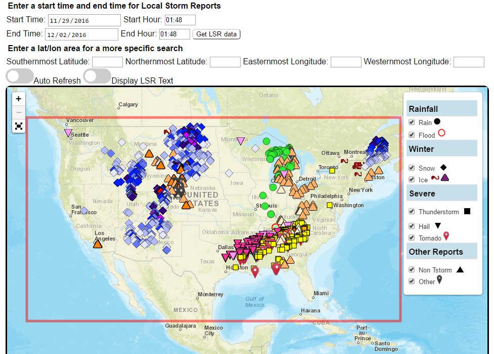
Custom plots of Local Storm Reports across the Contiguous United States. Reports include rain, snow, ice, and severe weather, as well as other significant information from storm spotters.

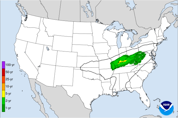
Displays the climatological significance of precipitation forecast by WPC. The climatological significance is represented by Average Recurrence Intervals (ARIs) of precipitation estimates from NOAA Atlas-14 and Atlas2.

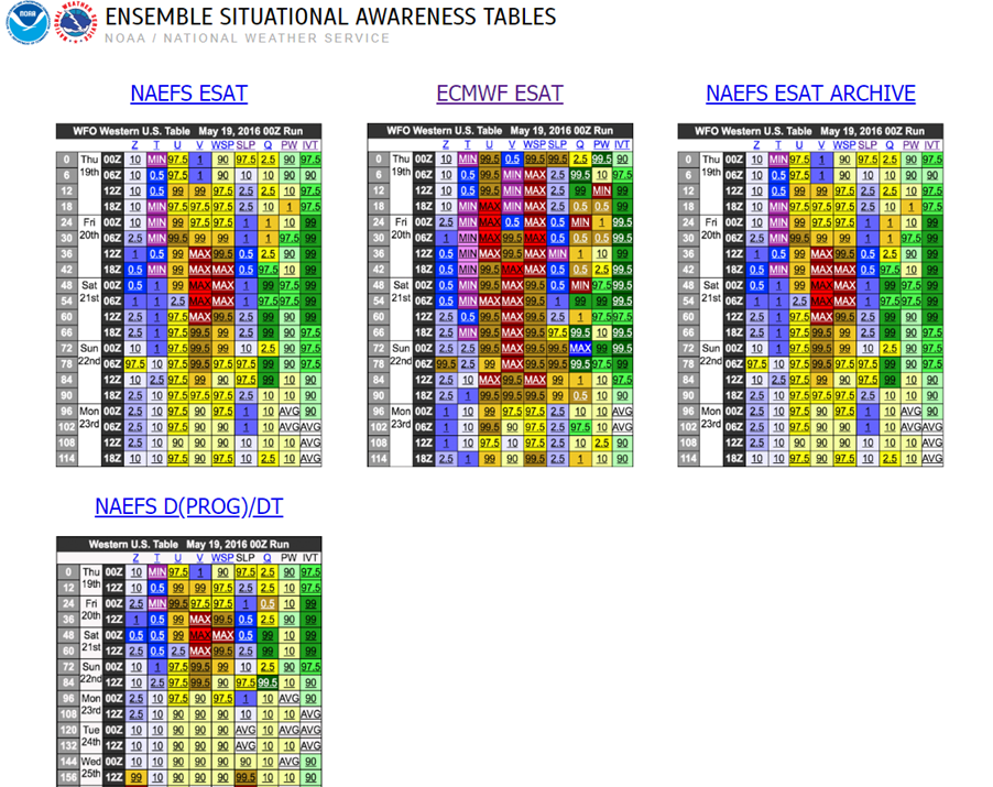
An interactive situational awareness table that displays anomalies, percentiles, and return intervals from the GEFS, NAEFS, and ECMWF Ensembles (login required to view ECMWF data).
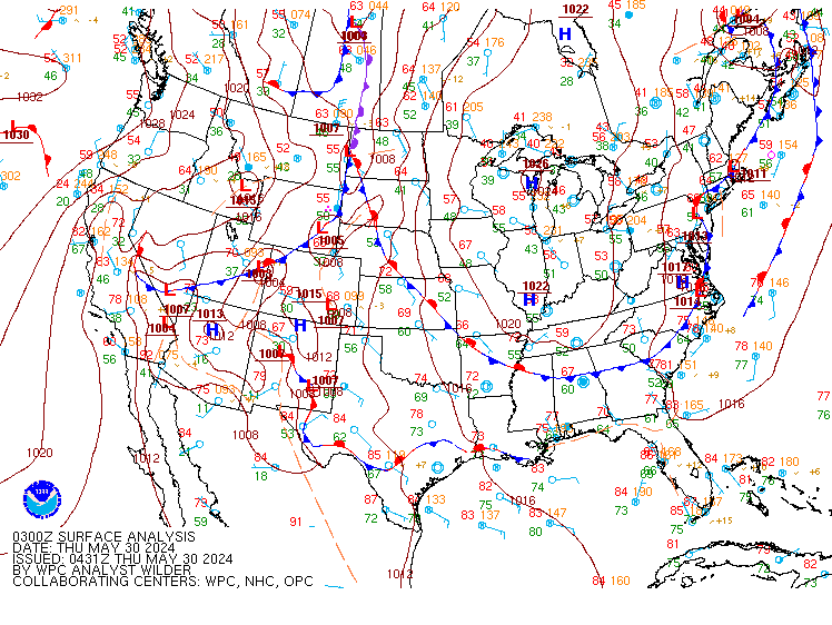
*Please note that there is currently an issue where only users on a NOAA network can access this page. We are actively working to resolve this problem.

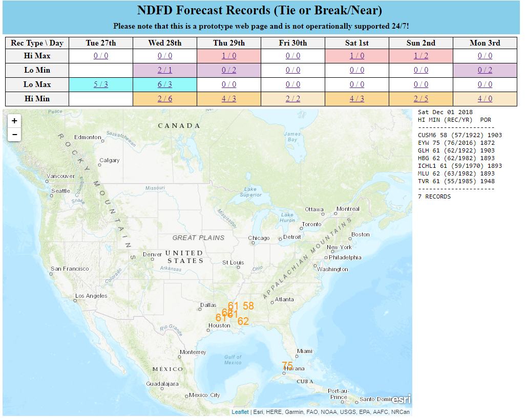
Interactive display of where temperatures could approach or exceed records within the contiguous U.S. (based on NDFD temperature forecasts)

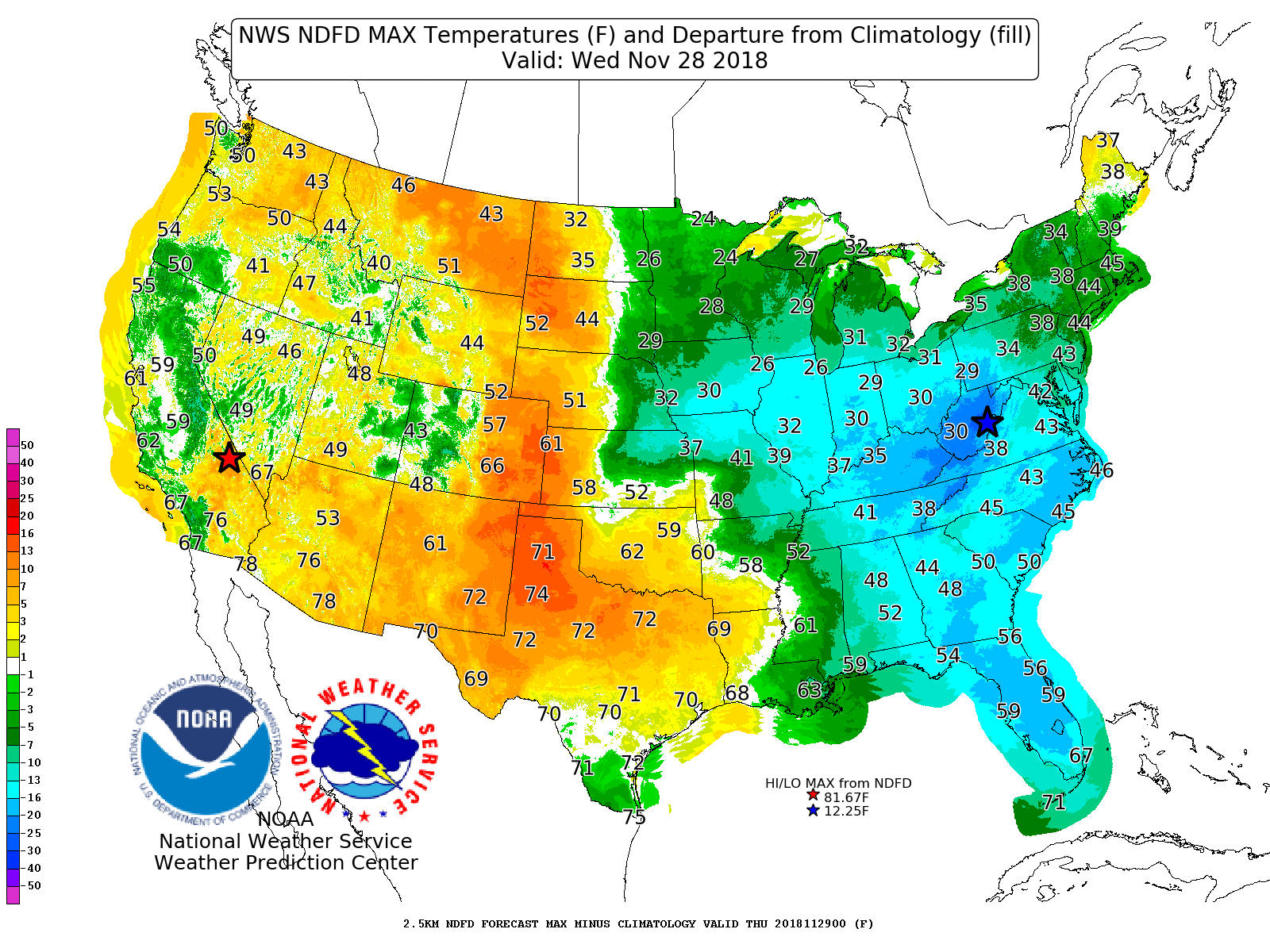
Displays Days 1-7 NDFD maximum and minimum temperatures, along with their respective departures from climatology.

An interactive tool that depicts areas of heavy snowfall from individual members of high-resolution short range ensemble forecasts.
Displays forecast information and its climatological context to quickly alert a forecaster when a record or neear-record breaking event is possible. This tool is available for both CONUS and Alaska.

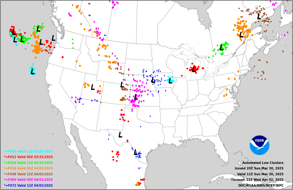
Displays 0-72 hour cyclone forecast positions from global ensemble and deterministic model guidance.

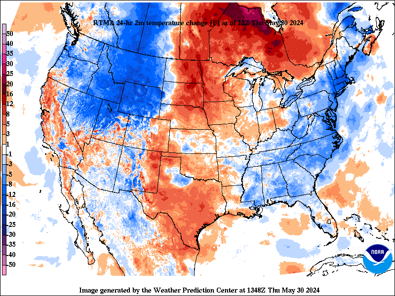
Change in weather parameters (temperature, dewpoint, surface pressure, etc) over the last 1/3/6/24 hours. Data is provided from the Real-Time Mesoscale Analysis (RTMA) or the Rapid Refresh (RAP).

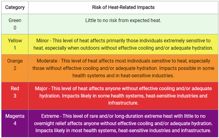
The experimental National Weather Service (NWS) HeatRisk is a color-numeric-based index that provides a forecast of the potential level of risk for heat-related impacts to occur over a 24-hour period, with forecasts available out through 7 days.

Analog guidance that uses an objective approach to find historical events that are similar to the upcoming forecast.

Nationally consistent and skillful suite of calibrated forecast guidance based on a blend of both NWS and non-NWS numerical weather prediction model data and post-processed model guidance.