Probabilistic Heavy Snow and Icing Discussion
NWS Weather Prediction Center College Park MD
240 PM EDT Tue Apr 1 2025
Valid 12Z Tue Apr 01 2025 - 12Z Fri Apr 04 2025
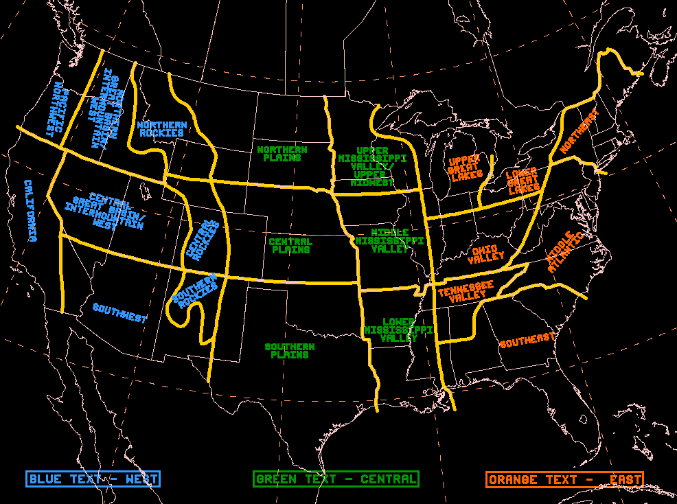
...Northern Plains & Upper Midwest...
Days 1-2...
...Major winter storm to bring heavy snow and gusty winds to
portions of the Dakotas and Minnesota. Key Messages have been
issued for this system and are linked below...
This is no April Fool's joke - a major winter storm will develop
late tonight and then expand and intensify into Minnesota late
Wednesday. The trough responsible for this evolution will be
elongated across the western CONUS at the start of the forecast
period, with an embedded shortwave trough sharpening and digging
across the Northern Plains by Wednesday morning. As shortwave
amplifies, it will close off over SD Wednesday, and the continue
to deepen, with 850-500mb heights dropping to below the 1st
percentile within the NAEFS CFSR climatology. This indicates a
strong system, and as the strongest height falls and PVA from the
mid-level evolution overlap with the increasingly intense
diffluence within the LFQ of a pivoting jet streak, a strong and
intensifying surface cyclone will develop and track from eastern
Nebraska through the Arrowhead of MN before exiting into Canada
Thursday aftn.
There continues to be some latitudinal spread amongst the various
global model systems, leading to a bit lower confidence in the
exact track of the low and subsequent placement of the greatest
impacts. The GEFS/CMCE systems are more aligned with each other
with the surface low track, and are both a bit north of the ECE
ensembles. The key difference appears to be with the dominant
surface, as the ECMWF wants to keep the southern edge of the
elongated low the dominant feature, whereas the GFS and CMC make
the northern low the primary feature. The GFS/CMC also are more
aligned with the now available high-res guidance, so the northern
track seems a bit more supported. Additionally, looking at the D3
clusters (from yesterday), the EC cluster is heavily influenced by
its own ensembles (74%) so it may be a bit under-dispersive as
well. This indicates that a more northern low track is probable
which will allow for warm air to flood farther north, leading to
a mixed precipitation axis from both a warm nose and a subsequent
dry slot, from far northeast SD to potentially across the
Arrowhead.
Northwest of this, however, significant snow accumulations with
heavy snow rates and gusty winds are likely. Despite the now
early-April sun, a potent deformation axis overlapped with an
increasingly impressive TROWAL, especially across northern MN, will
cause heavy snow rates for which the WPC prototype snowband tool
and the HREF probabilities suggest will reach 1-2"/hr. Even these
kinds of rates could overwhelm the warmth due to April sun, leading
to rapid snow accumulations. The heaviest snow amounts are likely
from eastern ND through northern/central MN where the potent
deformation axis will pivot and then translate northeast. Here, WPC
probabilities are high for 6+ inches of snow, with locally 8-12
inches possible. The Arrowhead of MN will also be a focus for
locally heavier snowfall as reflected by a 70-90% chance for 8
inches here, but there remains some uncertainty into how
effectively lake enhancement can occur.
South of this axis of heavy snow, a swath of mixed precipitation,
including freezing rain, is likely. The heaviest icing is expected
across the Coteau of SD, and parts of lower MI, where WPC
probabilities for 0.1" of ice or more range from 10-50%.
...Northeast...
Day 2...
The same system that will bring the major winter storm to the
Northern Plains/Upper Midwest will bring some wintry weather to the
Northeast as well. As the primary surface low over MN occludes to
the east into the Great Lakes, an attendant warm front will begin
to lift northeast downstream of this secondary low pressure. As
this warm front lifts into the Northeast, it will spread increasing
moisture across Upstate NY and northern New England, especially
after 00Z Thursday. The accompanying lift through WAA will ascend
isentropically, especially along the 290K-295K surfaces, which
will push PWs to above the 99th climatological percentile according
to NAEFS, while at the same time driving a warm nose above 0C
northward. The impressive ascent along this warm front will result
in axis of heavy precipitation, but with p-type gradually changing
from snow to a mix to rain, even into northern Maine. The fast
progression of this event, combined with heavy precipitation rates,
and the transitioning p-type will limit overall amounts, but
impacts will still be notable due to snow, sleet, and freezing
rain. WPC probabilities for more than 4 inches of snow are modest
at just 30-50% in the higher terrain of NH and ME, but more than
0.5" of sleet is possible across a larger portion of those areas.
Additionally, freezing rain has a 50-70% chance of accreting to
more than 0.1" of ice across the Adirondacks, southern Greens, the
Northeast Kingdom of VT, and northern NH.
...California...
Day 1...
A shortwave trough embedded within the much larger trough
encompassing much of the West will advect onshore central CA at the
start of the period and then continue to traverse southeast into
the Great Basin Wednesday aftn. Confluent flow south of this
feature combined with a slowly departing jet streak will maintain
steady moisture advection onshore, characterized by IVT that will
continue above 250 kg/m/s the first half of D1. This moisture will
be forced efficiently into the Sierra, with upslope flow wringing
out moderate to heavy snow above generally 3000 feet. While the
heaviest accumulations are likely before this forecast period,
additional snowfall will still be significant as snow rates remain
above 1"/hr at times, and many of the area passes will experience
impacts to travel. WPC probabilities for more than 6 inches of
additional snowfall after 00Z tonight are as high as 70% across the
higher terrain of the Sierra.
...Rockies...
Days 1-3...
Widespread light to moderate snow D1-D2 potentially becomes more
significant across the Southern/Central Rockies late D3.
For D1 and D2 /00Z Wednesday through 00Z Friday/, the entire region
will be covered by large but diffuse troughing extending from the
Pacific Coast through the High Plains. Beneath this large and slow
moving trough, waves of vorticity will rotate through, leading to
periods of enhanced ascent within steep low level lapse rates and
aided by upslope flow. In general, this forcing will be modest
across the region, but an exception is likely across southern
Montana into Wyoming on D1, where a stalled cold front and
accompanying weak wave of low pressure will drive more pronounced
ascent through fgen leading to areas of heavy snow. The heaviest
accumulations D1 are likely above 3500 ft in this region, where WPC
probabilities indicate a high risk (>70%) for more than 4 inches of
snow in the Absarokas, Wind Rivers, and into the Black Hills of
SD.
Elsewhere on D1, light to moderate snowfall across much of the
terrain from the Four Corners and Great Basin Northward has a less
than 30% chance of exceeding 4 inches.
Then through much of D2 forcing again remains modest but widespread
across the Rockies, leading to areas of light to moderate snow in
most of the terrain. A local exception will again exist, this time
across the Northern Rockies and maybe as far south as Yellowstone
NP as a cold front digs out of Canada leading to some increased
fgen and enhanced upslope flow in its wake. This will cause
heavier snow rates and at lower snow levels (falling to 2000-3000
ft) leading to accumulations that have a high risk (>70% chance) of
exceeding 6 inches around Glacier NP, and 10-30% chance around
Yellowstone. Some locally heavier snow is also expected D3 in the
vicinity of the Four Corners, especially across UT and CO as a
shortwave pivots northeast, and WPC probabilities indicate a
moderate risk (30-50%) for more than 6 inches in the southern
Wasatch and San Juans.
Then during D3, more impressive and consolidated ascent begins to
manifest across the central and southern Rockies, generally from WY
through CO and into NM as the tail shortwave within this larger
trough begins to amplify. There is good agreement that this
shortwave will close off and dig south into the Deserts of AZ,
leading to increasingly impressive mid-level divergence downstream.
At the same time, a subtropical jet streak will intensify and
rotate around the base of this amplifying closed low to place
favorable LFQ ascent into the eastern Rockies, while additionally
the cold front from D2 across the northern Rockies drops south
across WY and CO. The overlap of this baroclinic gradient with the
increasing synoptic ascent could result in an impressive area of
expanding precipitation D3 and even moreso into D4. There is still
uncertainty into the exact evolution of this event, and current WPC
probabilities are modest (10-30%) for more than 6 inches of snow,
but during D4 these could increase and expand more impressively.
Weiss
...Winter Storm Key Messages are in effect. Please see current
Key Messages below...
https://www.wpc.ncep.noaa.gov/key_messages/LatestKeyMessage_1.png


